
Sarasota ZIP Directory Coverage
Sarasota’s mailing geography is much larger than the incorporated city. The working table groups each postal code by its best-known coverage and routing. Neighborhood names are useful clues, not official borders. Verify a single address through USPS and then check the county parcel map or city permit system before choosing a custodian.
| ZIP | Areas covered | Post office or routing | Notes |
|---|---|---|---|
| 34230 | Downtown PO boxes | Sarasota main, 1661 Ringling Blvd | PO-box ZIP, not a residential polygon |
| 34231 | South Sarasota, Gulf Gate, north of Stickney Point | Sarasota delivery | Largely outside city limits |
| 34232 | Fruitville, Beneva, east-central Sarasota | Glengarry station, 935 Beneva Rd | Mostly county with city-edge parcels |
| 34233 | Bee Ridge and Clark Road interior | 34232 processing | Largely unincorporated |
| 34234 | North Sarasota, Indian Beach, Newtown, airport area | 34234 processing | Crosses city and county |
| 34235 | The Meadows and University to 17th Street | 34232 routing | City and county mismatch |
| 34236 | Downtown, Rosemary, Gillespie, Bayfront, St. Armands, Lido | Sarasota main delivery | Core city, islands and mainland |
| 34237 | East downtown, Alta Vista, Arlington Park, Payne Park | Sarasota main routing | Core and east city |
| 34238 | Palmer Ranch and south county mainland | 6552 Palmer Park Cir annex | Postal Sarasota, generally outside city |
| 34239 | Southside, Hudson Bayou, nearby South Sarasota | Southgate routing | Overlaps city and CDP |
| 34240 | Fruitville, Celery Fields, Myakka approaches | 34232 routing | Broad rural county area |
| 34241 | Bee Ridge east and Lake Sarasota | 34238 routing | Unincorporated postal Sarasota |
| 34242 | Siesta Key | 34231 routing | Predominantly unincorporated county |
| 34243 | University and Tallevast area | 34234 routing | Much lies in Manatee County |
| 34276 | Gulf Gate branch PO boxes | 2875 Ashton Rd | PO-box or special use |
| 34277 | Southgate PO boxes | Southgate station | PO-box or special use |
USPS processing groups describe mail operations, not city membership. Even two adjacent addresses with a Sarasota mailing line may require different city, county, election, deed, or permit searches.
Sarasota ZIP Codes in the City
The strongest municipal cluster is 34236, 34237, and parts of 34239. Downtown, Rosemary, Gillespie Park, the bayfront, St. Armands, and Lido are tied chiefly to 34236. East downtown, Alta Vista, Arlington Park, and Payne Park align chiefly with 34237. Southside and Hudson Bayou fall within 34239, which also reaches the South Sarasota area beyond the city.
These labels still do not replace a parcel check. Island and mainland areas can share one code, and the postal route does not show an annexation or association line. Use the Sarasota County Property Appraiser to match a street address to parcel, situs, and legal description. Then check the city system if the work or record is municipal.
Situs means the physical parcel address. The owner’s mailing address is where tax correspondence goes, and it can be elsewhere. Keeping those fields apart prevents a ZIP-wide owner list from being mislabeled as a resident roll.
Postal Sarasota Beyond City Limits
Several common Sarasota postal codes chiefly describe county communities. Palmer Ranch in 34238, the eastern areas in 34240 and 34241, and Siesta Key in 34242 are clear cases. Portions of 34231, 34232, 34233, and 34235 also sit outside the incorporated city. County property, tax, court, deed, and election custodians may still apply, but a City of Sarasota permit or code search can fail because the parcel is outside municipal jurisdiction.
Local development eras also vary. Older downtown and bayfront blocks may call for early Polk volumes or Sanborn maps. Postwar South Sarasota, Gulf Gate, and The Meadows often call for reverse directories, parcel cards, and later permit files. Palmer Ranch and east-county areas may be better served by recent county records. The ZIP code directory narrows geography; record age and jurisdiction choose the source.
Sarasota 34243 Reaches Manatee
ZIP 34243 is the most important boundary trap. Its mailing city can say Sarasota while much of the area lies in Manatee County, north of Sarasota County and outside the City of Sarasota. Searching only Sarasota County deeds, courts, elections, or parcels may therefore produce a false dead end. Confirm the actual parcel county before making any records request.
The same caution applies in reverse. A Sarasota County location can be outside the city even though its postal label says Sarasota. Postal names help deliver mail. They do not establish which government holds the record.
A Sarasota mailing line does not prove City of Sarasota or Sarasota County jurisdiction; verify 34243 parcels especially carefully.
Sarasota PO Box ZIP Codes
Codes 34230, 34276, and 34277 are PO-box or special-use postal codes. They should not be mapped as ordinary residential neighborhoods. A box can serve a person or firm whose physical site lies in another ZIP, another jurisdiction, or outside Sarasota. USPS can verify the mailing format, but it does not prove a home address.
The downtown box code 34230 routes through the main office at 1661 Ringling Boulevard. The Gulf Gate branch uses 34276 at 2875 Ashton Road, while Southgate boxes use 34277. Use a parcel situs or another dated official record when physical location matters.
- ZIP code
- A USPS delivery code that organizes mail routes and processing.
- ZIP+4
- The basic five digits plus a four-digit segment for a smaller delivery group.
- PO-box ZIP
- A code used for post-office boxes rather than a normal residential polygon.
- Unique ZIP
- A code reserved for one large recipient or special operation; none should be assumed here without verification.
- Carrier route
- A smaller operational mail-delivery path within a ZIP.
Verify Sarasota Addresses with USPS
The official USPS tool offers three useful modes: search by a street address, find codes for a city and state, or find city names tied to one code. An address search takes Street Address and State, with company, unit, city, and ZIP fields as applicable. The result standardizes delivery geography. USPS expressly warns that a result does not confirm that a person or firm occupies the address.
Open the USPS ZIP Code Lookup before searching a roll.
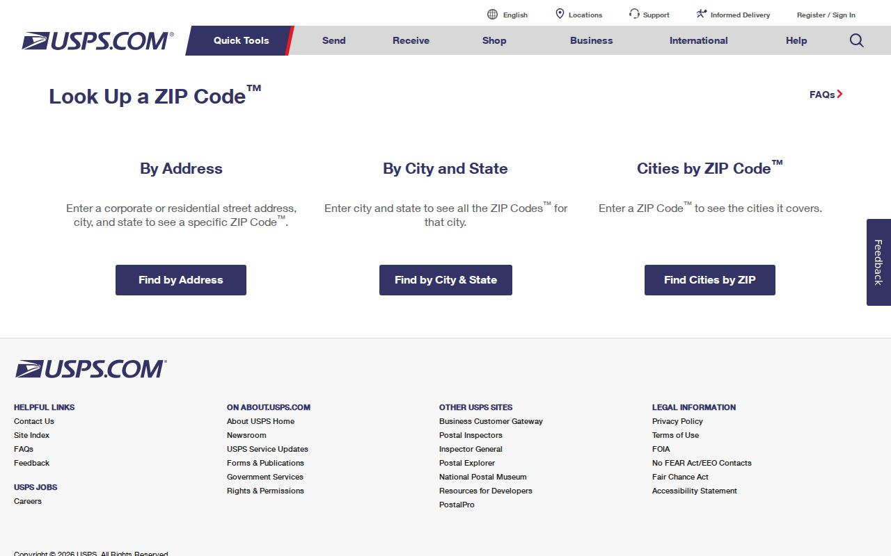
The standardized result gives the postal starting point. The county parcel and municipal boundary checks still decide which public office applies.
| Mode | Main fields | What it answers |
|---|---|---|
| By address | Street, state; optional company, unit, city, ZIP | Standard delivery format and code |
| By city | City and state | Codes associated with the postal place |
| By ZIP | Five-digit ZIP | Postal city names associated with that code |
Find Sarasota Residents by ZIP
A ZIP-wide search works best as a narrowing step. Property Appraiser Advanced Search accepts ZIP and address criteria for Sarasota County parcels. Its results show owners and tax data, not all residents. The City permit system accepts Postal Code and can return address-keyed work inside its jurisdiction, but it warns that some residential information before 1997 may be missing. The voter self-lookup has no browse-by-ZIP mode.
- Standardize the full address through USPS and retain the returned postal form.
- Search the Sarasota County Property Appraiser by ZIP, then open the relevant parcel and compare situs with owner mailing address.
- Use parcel or county GIS to confirm city, county, and neighborhood geography.
- For city parcels, filter permits by Postal Code, then narrow with owner, parcel, or street fields.
- When lawful voter data is needed, request a dated public extract from Elections and ask for geography and exemption handling.
Once a ZIP has narrowed the area, the Sarasota street directory carries the address search down to a named street and parcel.
Sarasota Permit Records by ZIP
The city permit form is a rare local source with an explicit Postal Code field. It also includes Permit Type, status, date window, application or permit number, Business Name, Owner Name, Contractor or Agent, Street Number, Street Name, City, and Parcel ID. Leave fields blank when broad coverage is needed, then add one filter at a time.
The form instructs users to enter the bare street name without directional prefix, suffix, or street type. That detail matters for Sarasota’s numbered streets and directional elements. Search the City of Sarasota permit portal, but remember that applicants, owners, contractors, and agents are not a household roster. If an older city property has no result, request the archived permit jacket from Development Services because some pre-1997 residential data are absent online.
Sarasota ZIPs Are Not ZCTAs
A Census ZIP Code Tabulation Area, or ZCTA, is a statistical polygon built from census blocks and the dominant ZIP address points in them. It is not the live USPS route database. PO-box and unique codes may not have a matching ZCTA. Any population figure drawn from this geography must be labeled with the ZCTA and data vintage, not called the City of Sarasota population.
Read the Census explanation of ZCTAs before using demographic totals.
The Census distinction explains why a statistical map can differ from a USPS result and from the incorporated city line.
Sarasota Voter Data and ZIPs
Sarasota County’s My Voter Record form requires a registered voter’s first name, last name, and date of birth. It opens that voter’s information, upcoming elections, and activity for the past year. It is not a ZIP-wide directory. For a broader lawful use, request a public registration extract under Florida Public Records Law and specify the snapshot date, geography, fields, file format, and treatment of protected records.
Florida registration data can include name, residence address, date of birth, party, phone, email, precinct, districts, status, and participation history. Participation means credited election activity, never ballot choice. Social Security number, driver or state-ID number, and application source are withheld. A signature may be viewed but not copied. Address Confidentiality Program participants and eligible high-risk professionals can have defined fields shielded.
Review the Florida voter information rules before interpreting a released file.
A ZIP sort can organize a properly released extract, but it still omits children, noncitizens, unregistered people, and protected voters.
Sarasota ZIP Boundaries and Limits
Four lines may overlap without matching: USPS delivery geography, Census ZCTA, incorporated city boundary, and county line. Neighborhood-association boundaries add a fifth local layer. Sarasota County GIS can compare parcels and available spatial layers, while the City’s map can show the Neighborhoods layer. Neither turns a postal area into a resident list.
Keep four address terms straight. Situs locates the real estate. Mailing address routes tax correspondence. USPS address standardizes delivery. Legal description anchors the parcel through subdivision, lot and block, or metes and bounds. When display wording changes, parcel and legal description are stronger bridges than ZIP alone.
Development Applications handles city street-name changes and annexations. No official source in the research supplied one citywide renumbering or recent ZIP realignment year. Do not invent one. Compare dated maps, current parcel facts, and the responsible custodian’s records.